UN
20 Dover Road
£ 365,000
Description
We don't have a Description for this property.
- Bedrooms
- 5
- Bathrooms
- 0

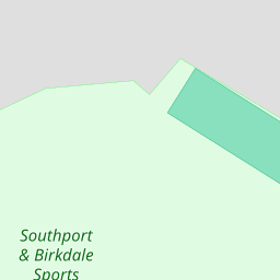
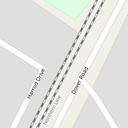
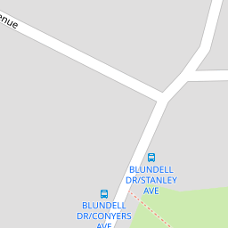

Leaflet © OpenStreetMap contributors
The heatmap indicates the level of crime in the area. The color of the heatmap indicates the crime severity and recency.
Metrics Year-on-Year
- Average area value
- 307,499.00 £Increased by 5.42 %
- Average area rental value
- 999.00 £/moIncreased by 5.94 %
- Est rental Yield
- 3.90 %Increased by 0.52 %
- Crime Rate
- 2.00 %Unchanged by 0.00 %
from 291,693.00 £
from 943.00 £/mo
from 3.88 %
from 2.00 %
Nearby Schools
| Name | Type | Ofsted | Distance |
|---|---|---|---|
| Greenbank High School | Academy Converter | 1.11 KM | |
| Our Lady Of Lourdes Catholic Primary School | Voluntary Aided School | Good | 1.23 KM |
| St Teresa'S Catholic Infant And Nursery School | Voluntary Aided School | Good | 1.35 KM |
| Farnborough Road First Steps Children'S Centre | Children's Centre | 1.36 KM | |
| Farnborough Road Junior School | Community School | Good | 1.47 KM |
Images
Nearby Streets
| Name | Average Price | Average Sqft | Distance |
|---|---|---|---|
| Grosvenor Gardens | £ 625,000 | 0 | 0.00 KM |
| Harrod Drive | £ 650,000 | 0 | 0.00 KM |
| Belgrave Place | £ 629,999 | 0 | 0.00 KM |
| College Close | £ 0 | 0 | 0.00 KM |
| Priory Gardens | £ 549,997 | 0 | 0.00 KM |
Nearby Transport
| Name | NLC | TLC | Distance |
|---|---|---|---|
| Birkdale | 2352 | BDL | 0.87 KM |
| Hillside | 2231 | HIL | 0.88 KM |
| Southport | 2262 | SOP | 2.78 KM |
| Ainsdale | 2350 | ANS | 3.87 KM |
| Meols Cop | 2357 | MEC | 5.22 KM |
Nearby Listings
| Address | Price | Type | Score | Distance |
|---|---|---|---|---|
| Conyers Avenue, Birkdale, Southport, Merseyside, PR8 4SZ | £ 540,000 | BUY | 7 / 10 | 0.02 KM |
| Conyers Avenue, Birkdale, Southport, Merseyside, PR8 4SZ | £ 775,000 | BUY | Unknown | 0.06 KM |
| Burlington Road, Southport, PR8 | £ 630,000 | BUY | Unknown | 0.20 KM |
| Harrod Drive, Birkdale, Southport | £ 650,000 | BUY | 7 / 10 | 0.20 KM |
| Crescent Road,Southport | £ 650,000 | BUY | 8 / 10 | 0.21 KM |
Nearby Properties
| Address | Price | Distance |
|---|---|---|
| 15 Dover Road | £ 332,500 | 0.00 KM |
| 11 Dover Road | £ 499,950 | 0.00 KM |
| 12 Dover Road | £ 425,000 | 0.00 KM |
| 17 Dover Road | £ 431,250 | 0.00 KM |
| 25 Dover Road | £ 268,000 | 0.00 KM |